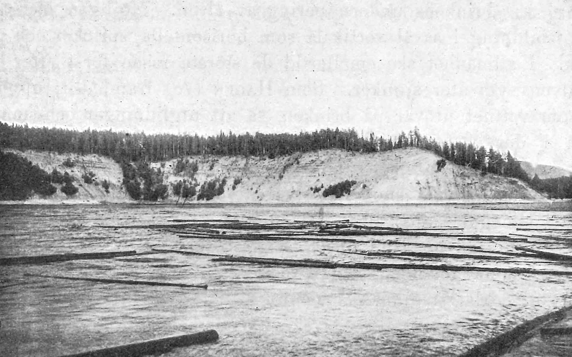
Historical photo of Storedan – De Geer’s actual sample area in Ragunda. The area is today overgrown as river regulation has allowed vegetation to cover the banks. (Photo: Hans W:son Ahlmann, in Ahlmann. 1915).
Geological Period
Quaternary / Holocene
Main geological interest
History of geosciences
Location
Sweden, Jämtland County, Ragunda.
63°07’10.2″N, 16°21’26.8″E
Historical photo of Storedan – De Geer’s actual sample area in Ragunda. The area is today overgrown as river regulation has allowed vegetation to cover the banks. (Photo: Hans W:son Ahlmann, in Ahlmann. 1915).
A key site for the final interpretation and completion of varve chronology by Gerard De Geer.
Gerard De Geer invented the first absolute geochronology method and system. The glacial clay varve chronology is the result of sampling covering a huge area in Sweden, but the final correlation could be made from samples from the bottom layers of the pre-existing Ragundasjön lake. While the age of the ice recession in Sweden was the original scientific target, the system and method has proven to be of global importance, as it allowed the geological science to take its primary step from relative to absolute dating.
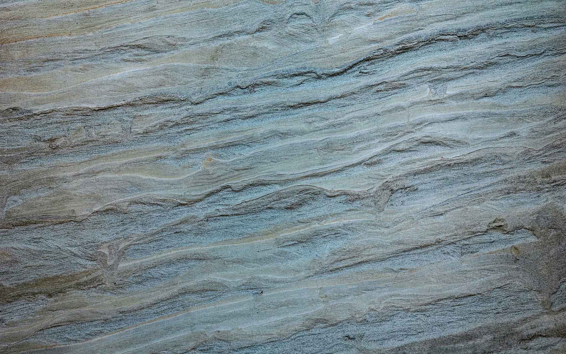
Detail of the varves at a geosite at Remmarna in the Ragunda area, where De Geer finalised his geochronology work. (Photo: Geopark Indalsälven/Peter Ladan).
Geological description
De Geer built up a varve chronology from Skåne to Jämtland in central Sweden, a year-by-year chronology of glacial retreat for the Late-glacial period (De Geer, 1912). This chronology was not only the most precise and accurate geological timescale of its day, it was the first absolute time-scale, showing the exact record of the end of the last ice age. His research showed that it took 1073 years for the land-ice to retreat from Stockholm to Ragunda in central Sweden, a distance of 500 km. Later, in 1940, he published his major and classic scientific paper, the Geochronologia Suecica Principles, in which he presented the full Swedish Time Scale, a floating varve chronology for ice recession from Skåne to Jämtland. As varves as such are found in many geological environments, the varve chronology system has with time proven to be of wider use and importance. Along with new dating methods, like radiocarbon dating, the system has during the twentieth century been both challenged and improved. The full plethora of De Geer’s ideas on varve chronology for global correlation have not stood the test of time, but the essence of the method has proven a solid tool for modern geological science.
Scientific research and tradition
Since the construction of the varve chronology by De Geer, there have been revisions as new sites are discovered, and old ones are reassessed. At present, the Swedish varve chronology encompasses thousands of sites and covers about 14,000 varve years. International application and use have followed.
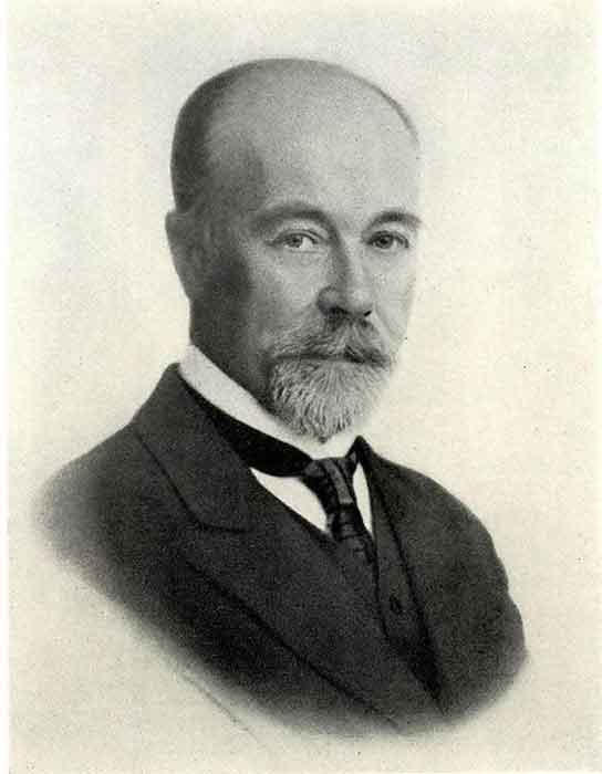
Gerard De Geer. As it appeared in the obituary by Madsen, V. (1943).
Reference
Ahlmann, H.J.K.W. (1915) Ragundasjöns geomorfologi. Stockholm: Sveriges Geologiska Undersökning (Ser. Ca, 12).
Bergström, R. (1968) Stratigrafi och isrecession i södra Västerbotten. Stockholm: Sveriges Geologiska Undersökning (Ser C, 634).
De Geer, G.J. (1912) ‘A geochronology of the last 12,000 years’, in Compte Rendus XI Session du Congree Geologique International. Stockholm, pp. 241–253.
De Geer, G.J. (1940) ‘Geochronologia Suecica Principles’, Kungliga Svenska Vetenskapsakademiens Handlingar, 18(6), pp. 1–360.
Mörner, N.-A. (2014) ‘Varve Chronology’, in Geochronology – Methods and Case Studies. Mörner, N.A. London: IntechOpen. Available at: https://doi.org/10.5772/58630.
Strömberg, B. (1989) Late Weichselian deglaciation and clay varve chronology in east-central Sweden. Uppsala : Stockholm: Sveriges Geologiska Undersökning (Ser. Ca, nr. 73).