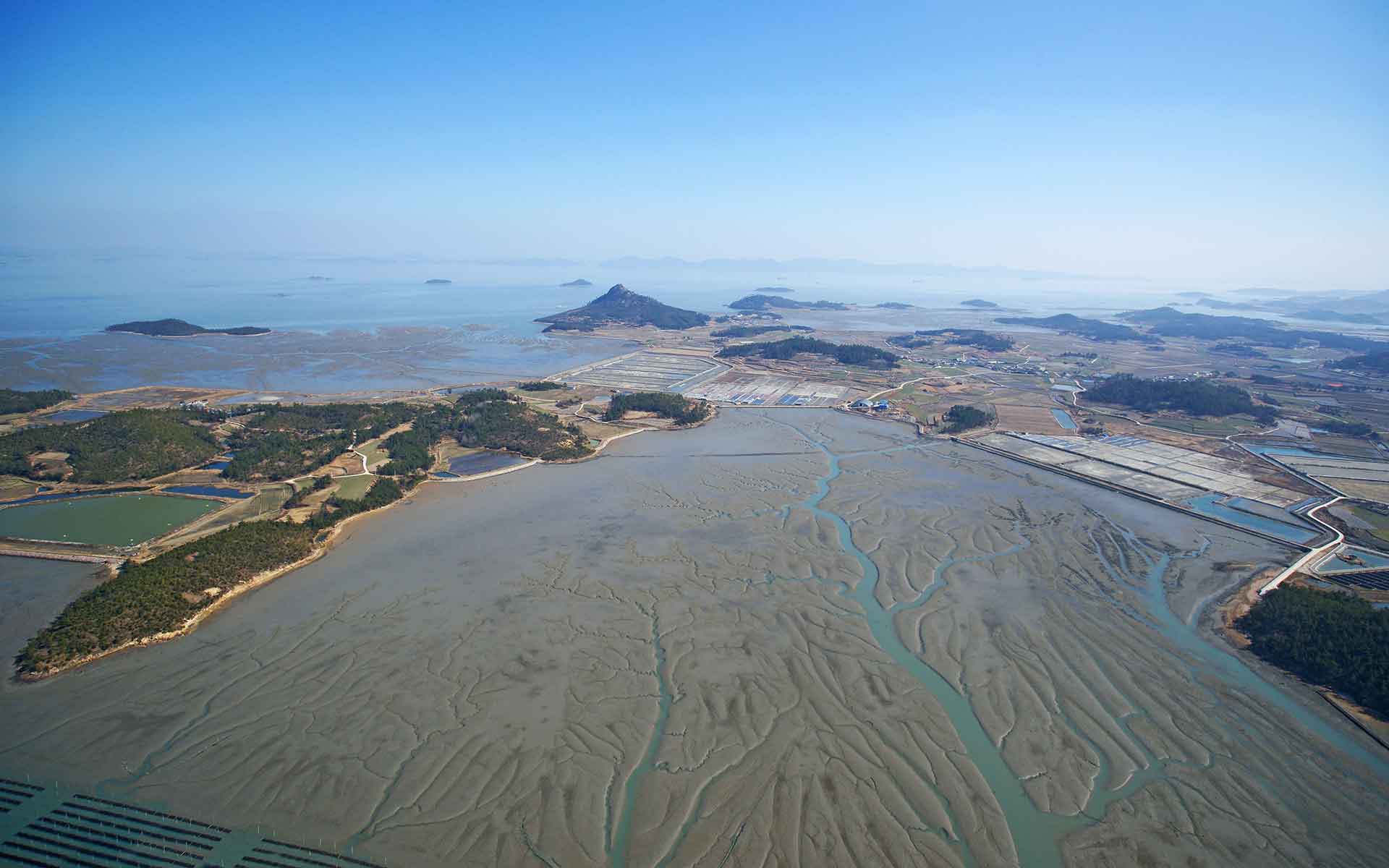
Island-type tidal flat with various shapes of tidal gullies in Shinan Getbol.
Geological Period
Holocene
Main geological interest
Geomorphology and active geological processes
Stratigraphy and sedimentology
Location
Western and southern coast of the Korean Peninsula, South Korea
34°49’44”N, 126°06’16”E
Island-type tidal flat with various shapes of tidal gullies in Shinan Getbol.
The most complex tidal flats formed by dynamic past and ongoing sedimentological processes during the Holocene.
A complex sedimentary system combined with the strong Asian monsoon climate provides a variety of tidal flat sedimentary environments characterized by an extremely high and complex geodiversity. At the same time, the system has maintained a sustained sedimentation equilibrium, resulting in one of the world’s thickest Holocene intertidal mud deposits as a result of sea-level rise since the Last Glacial Maximum. Together with the unique sedimentary features (chenier and sand stringer) produced by typhoon, the Korean Getbol displays the most complex and highly dynamic ongoing coastal processes and resultant coastal landforms in the world.
- Geological description
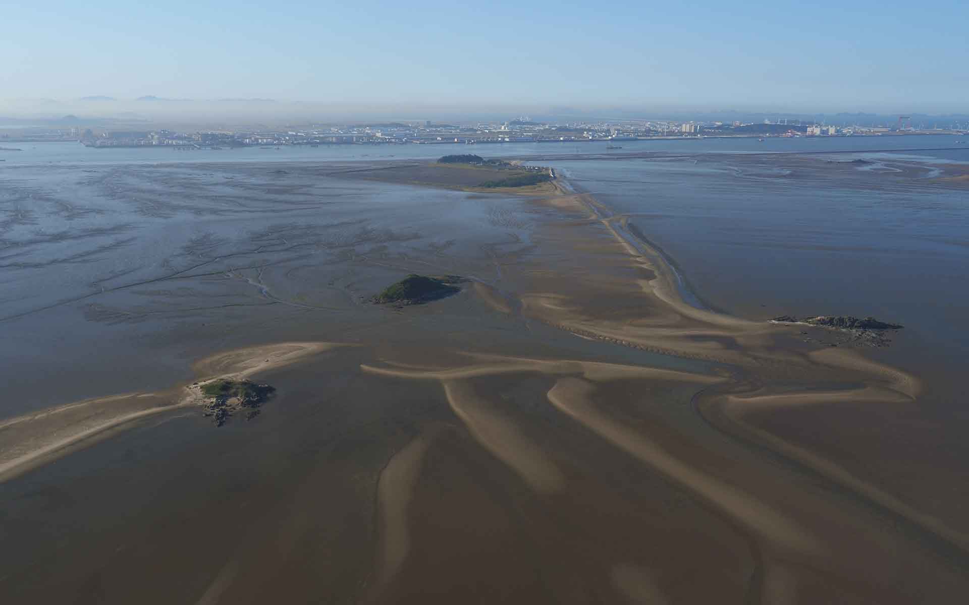
Due to the highly dynamic and complex combination of geological, oceanographic, and climatic conditions, the area is characterized by extremely dynamic past and ongoing sedimentary processes, thus representing one of the most intricate and diverse sedimentary systems in the world. Korean Getbol is a natural, stable and sustainable region and encompasses all geological, geomorphic, and ecological characteristics and ongoing tidal processes, which are a rarity in the world. Thousands of islands are scattered around a vast area adjacent to the land. Rapid macrotidal currents flow between these islands through tidal channels that are narrow or wide, short or long, shallow or deep, changing their direction every six hours. This creates one of nature’s most spectacular phenomena along the coast with diverse coastal landforms. Tidal sedimentation is also greatly influenced by the seasonal changes of the Asian Monsoon climate regime, resulting in high geodiversity exposed to constant changes in hydrology and sediment supply. As a result, the littoral environment includes tidal channels and gullies, tidal mudflats, mixed flats and sandflats, together with all the related ecosystems to sustain highly dynamic yet stable mudflat sedimentation regimes.
- Scientific research and tradition
Geological research has been supported by Korean Government since 2012. After the World Heritage inscription for criterion (x) in 2021, scientific monitoring and research are active for the maintenance of their attributes as well as for the additional criterion (viii).
- Reference
Chun, S.S. et al. (2015) ‘Sedimentation and Holocene evolution of archipelago tidal flats in SW Korea’, in Extended Abstracts. 9th international conference on tidal sedimentology (Tidalites 2015), pp. 35–37.
Chun, S.S. (2018) ‘The macrotidal flats in the southwestern coast of Korea: classification, characteristics and uniqueness’, in Western Pacific sedimentology meeting proceedings, pp. 1–8.
Crofts, R. et al. (2020) Guidelines for geoconservation in protected and conserved areas. IUCN. Available at: https://doi.org/10.2305/IUCN.CH.2020.PAG.31.en.
UNESCO (2021) A nomination of the World Heritage, Getbol, Korean Tidal Flats. UNESCO World Heritage Center.
Woo, K.S., Chun, S.S. and Moon, K.O. (2020) ‘Outstanding Geoheritage Values of the Island-Type Tidal Flats in Korea’, Geoheritage, 12(1), p. 8. Available at: https://doi.org/10.1007/s12371-020-00445-8.
- Author(s)
Kyung Sik, Woo.
Kangwon National University. South Korea.
Seung Soo, Chun.
Jeonnam National University. South Korea.
Kyong O, Moon.
World Heritage Promotion Team of Korean Tidal Flats. South Korea.

