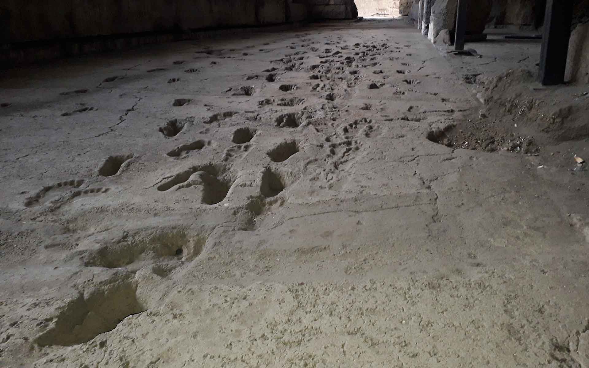
Close view of footprints showing them extending away. The details of the mud squashed up by each foot is perfectly preserved.
Geological Period
Holocene
Main geological interest
Paleontology
Volcanology
Location
Managua, Nicaragua
12°09’44”N, 086°18’48”W
Close view of footprints showing them extending away. The details of the mud squashed up by each foot is perfectly preserved.
A long footprint sequence of at least 16 people walking in an ancient geological environment by Lake Managua.
The Acahualinca Footprints are a unique record of the Holocene stratigraphic, volcanic, tectonic and geomorphological history of the Central American isthmus. They are overlain by six lithostratigraphic units, representing at least 14 volcanic eruptions. The footprints are globally important as one of the few accessible sites with exceptionally well exposed human footprints. They have a unique value, being a long sequence of footsteps of at least 16 people taking a walk in an ancient geological environment. The site excavation and preservation allows observation of both footprints, paleogeomorphology and stratigraphy in one glance.
- Geological description
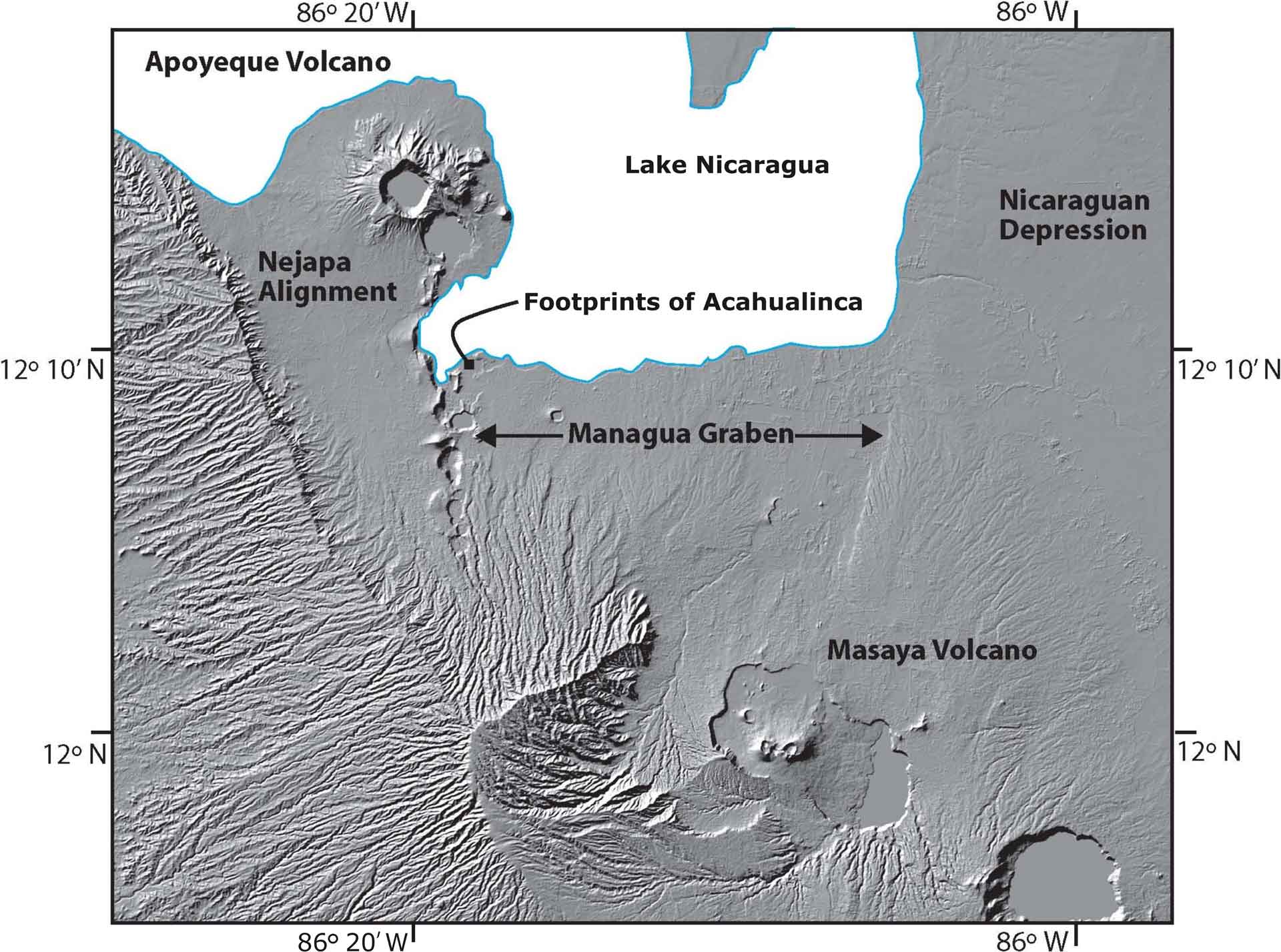
The Footprints of Acahualinca incorporate a double record: 1) they provide anthropomorphic traces and cultural characteristics of early human occupation of Central America. Debated to be between 2,000 and 8,000 years old (Brown, 1947; Bryan, 1973; Schmincke et al., 2009; Sachiko, 2017), the more recent work indicates that the older dates are more likely. 2) they record active geodynamics associated with intense explosive volcanism, including huge Masaya Volcano basaltic ignimbrites, and activity in the Managua Graben, a pull-apart structure in the Nicaraguan Depression.
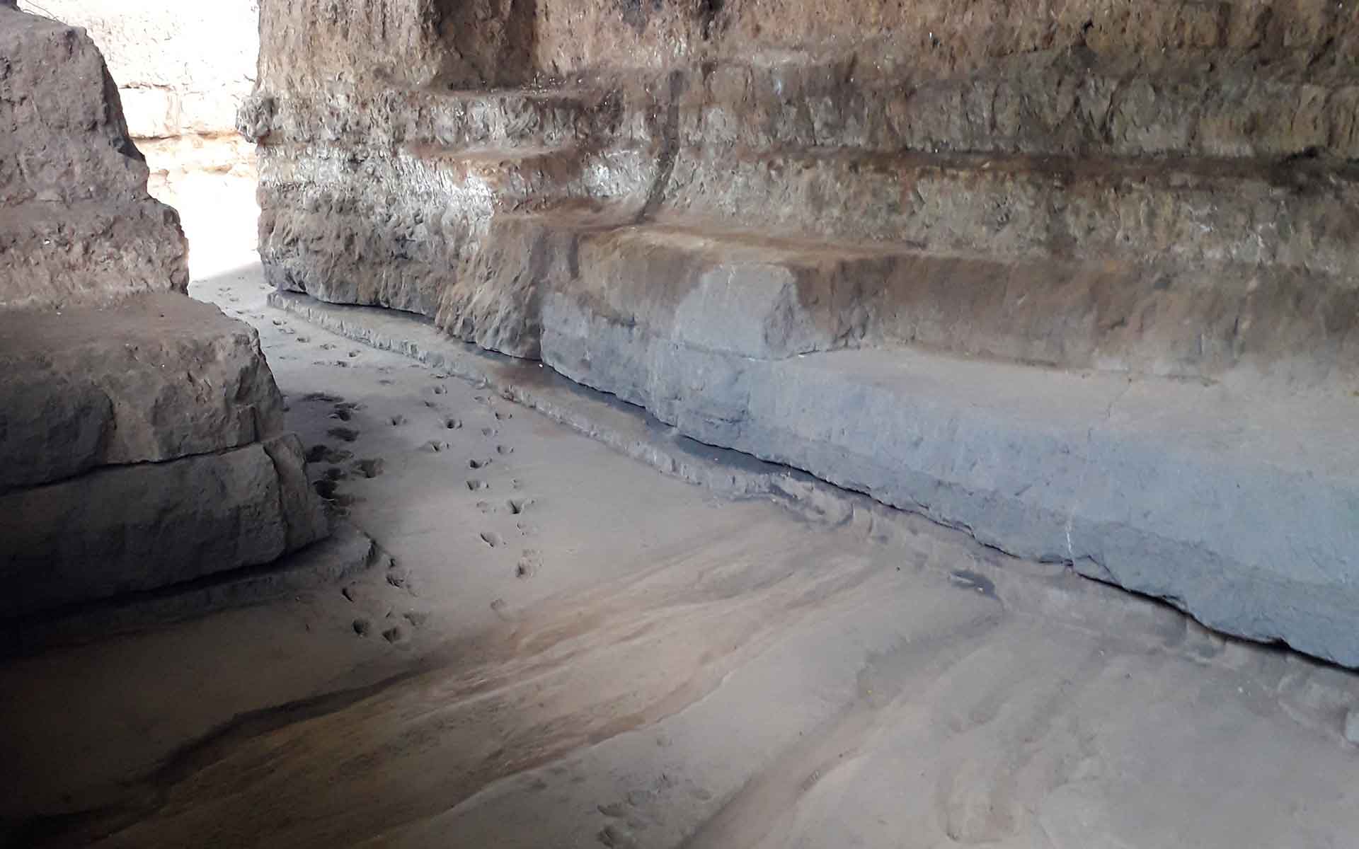
The footprints were discovered in 1874 (Flint, 1884; Chávez, 1920). In 1953 the Footprints of Acahualinca Museum was founded. The site is protected under Nicaraguan law. Footprints of about 16 adults and children can be seen. There are over 1,000 fossil footprints of humans and animals, as well as evidence of flora, all preserved under a 4 meter thick sequence of tuff. This stratigraphy is a type sequence for the region, including globally important basaltic ignimbrite surge deposits from the Masaya volcano and the nearby Nejapa Volcanic alignment. The Acahualinca Footprints record a unique geological-cultural lakeside landscape outstanding in their evidence of humans associated with important water sources in an active volcanic and tectonic environment.
- Scientific research and tradition
The Footprints of Acahualinca have been an object of strong debate since their discovery in 1874. The debates still range over the exact date of the prints, the environment, and what the people were doing (escaping from an eruption, or just taking an easy walk).
- Reference
Brown, R.W. (1947) ‘Fossil Plants and Human Footprints in Nicaragua’, Journal of Paleontology, 21(1), pp. 38–40.
Bryan, A.L. (1973) ‘New light on ancient Nicaraguan footprints’, Archaeology, 26(2), pp. 146–147.
Chávez, D. (1920) ‘La Momia del Lago’, La Noticia, 23 January, p. 1.
Flint, E. (1884) ‘Human footprints in Nicaragua’, Am. Antiquarian, 6, pp. 112–114.
Sachiko Sakai, T.P. (2017) ‘Determinación de Edades a través de Luminiscencia de las Huellas de Acahualinca’, Revista Científica de Las Huellas de Acahualinca, Managua, Nicaragua.
Schmincke, H.-U. et al. (2010) ‘Walking through volcanic mud: the 2,100 year-old Acahualinca footprints (Nicaragua) II: the Acahualinca people, environmental conditions and motivation’, International Journal of Earth Sciences, 99(1), pp. 279–292. Available at: https://doi.org/10.1007/s00531-009-0438-0.
- Author(s)
Eveling Espinoza.
Dirección de Vulcanología, Dirección General de Geología y Geofísica – INETER, Instituto Nicaragüense de Estudios Territoriales, Managua, Nicaragua.
William Martinez.
INETER, Instituto Nicaragüense de Estudios Territoriales, Managua, Nicaragua.
Benjamin van Wyk de Vries.
Université Clermont Auvergne, Laboratoire Magmas et Volcans, OPGC, CNRS et IRD, Clermont Ferrand, France.

