
The Arabian Plate is a small tectonic segment that formed around 25 million years ago due to rifting. This process separated it from Africa and resulted in the formation of the Gulf of Aden and the Red Sea. The upper Earth’s crust in this region consists of solid Precambrian bedrock, topped by a sedimentary layer from the Phanerozoic era that can reach depths of up to 10 kilometers, along with volcanic Cenozoic flood basalt known as Harrat.
The Red Sea Rift and its surroundings feature extensive basaltic lava fields from monogenetic volcanoes, making it a key area for studying this geological phenomenon. It holds important geoheritage significance worldwide, with basalt being recognized as a heritage stone.
The Arabian Plate developed through rifting in the Gulf of Aden and the Red Sea during the Early and Late Oligocene periods. This process was preceded by widespread basaltic volcanism that began approximately 33 million years ago in southern Ethiopia and northern Kenya. A major flood-basalt event spread across Ethiopia, Yemen, and Eritrea between 31 and 29.7 million years ago. Both rifting and volcanic activity are associated with the Afar mantle plume, which may have emerged around 45 million years ago. Additional volcanic episodes occurred between 24 and 20 million years ago, as well as from 14 million years ago to the present, creating intraplate volcanic regions in western Saudi Arabia and the Levant. Two primary hypotheses explain this volcanic activity.
Firstly, volcanism was caused by mantle plumes either through 1) northward channeling of Afar plume material along the Red Sea, smaller plumes beneath western Saudi Arabia and the Levant, or 2) an upwelling mantle sheet parallel to the Red Sea connected to the Afar Plume.
Secondly, decompression melting can occur due to lithospheric thinning associated with Red Sea rifting. Primary melts may also be produced by the melting of asthenospheric mantle, by the remobilisation of fertile material trapped within the lithosphere during earlier volcanic events, or by a combination of these processes.
Approximately 2% of the Arabian Peninsula is covered by basalt fields (harrats) that erupted during two main stages in the Cenozoic:
The basalt of western Arabia is an iconic rock type that defines the region’s appearance along the eastern margin of the Red Sea.
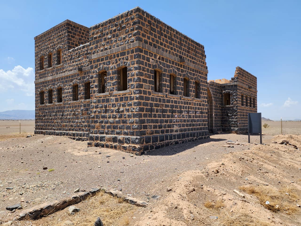
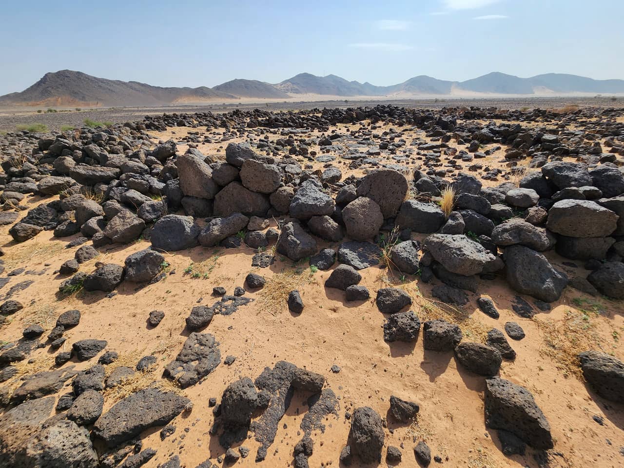
The Saudi harrats’ basalt rocks play a significant geocultural role. These rocks have been used to build stone walls and features dating back to Neolithic times, although some may even be from the Palaeolithic era. Basaltic tools were common throughout the Stone Ages, serving as materials for axes, grinding stones, and plates. Basalt grindstones and mullers are often utilitarian, usually lacking elaborate preparation or maintenance. They are typically thrown out once their surface becomes too smooth to be effective for grinding. Historically, basalt has been used as foundation stones or facades in building remains. During the Early Islamic period, especially under the Ottoman Empire, basalt became an important material for constructing mosques and other significant structures. At the height of the Ottoman Empire, basaltic rocks featured prominently in notable buildings such as railway stations, mosques, fortresses, and government offices, giving cities like Madinah and Khaybar a dark aesthetic. Since the founding of the Kingdom of Saudi Arabia and particularly in recent decades, rapid development has made basalt from the harrats a valuable resource for public construction, including well-designed road sections and buildings.
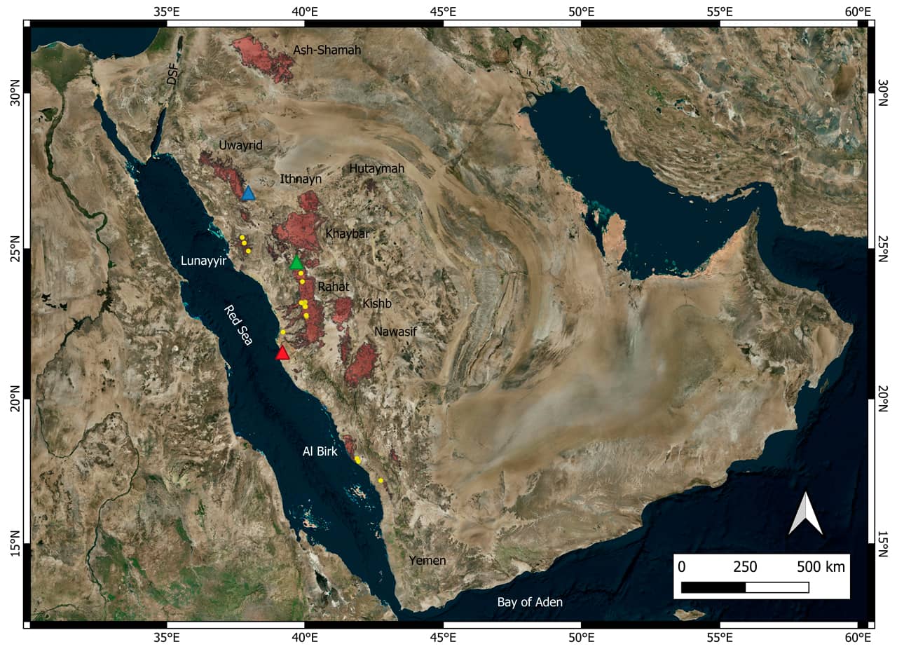
The overview map (Bing Satellite) shows the distribution of Neogene-Quaternary Flood basalts, derived from the 1:250,000-scale geological map of Saudi Arabia. Yellow dots indicate active quarries where basalt is extracted. Most quarry profiles primarily produce scoria (pozzolana) for construction. These basaltic lava fields within monogenetic volcanic zones, known as harrats, are recognized for providing local building materials.
Németh, K., Moufti, M.R.H. (2024) Geoheritage and Geodiversity of Cenozoic Volcanic Fields in Saudi Arabia. Geoheritage, Geoparks and Geotourism. Springer, Cham. Pp. 184, ISBN: 978-3-031-61217-6, https://doi.org/10.1007/978-3-031-61217-6.
Károly Németh knemeth@geoconservation.org
Mohammed Rashad Moufti mrmoufti@gmail.com